Greece Braces for First Heatwave of the Year

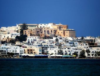
Πηγή Φωτογραφίας: ΝΑΥΠΛΙΟ - ΖΕΣΤΗ ΚΑΙ ΜΠΑΝΙΟ ΣΤΗ ΠΑΡΑΛΙΑ ΤΗΣ ΑΡΒΑΝΙΤΙΑΣ. (ΒΑΣΙΛΗΣ ΠΑΠΑΔΟΠΟΥΛΟΣ/EUROKINISSI)
According to Theodoris Kolidas, Director of the Hellenic National Meteorological Service (EMY):
“While there are still some discrepancies between forecast models, there is a consensus on a few key points. We anticipate a gradual temperature increase beginning Sunday, coupled with a general weakening of wind conditions. Coastal areas will benefit from sea breezes.”
This warm spell is expected to last until Wednesday. While temperatures will remain elevated until next Monday, forecasts for Tuesday and Wednesday indicate a potential cool-down.
A comparison of temperatures at 850hPa is available in tabular format, accompanied by a video illustrating the projected changes based on the ECMWF and GFS models. The highest temperatures are anticipated as follows:
- Saturday: 32-33°C, reaching 34°C locally in the east.
- Sunday: 32-34°C, with highs of 35°C in some areas.
- Monday: 34-35°C across mainland Greece from Thessaly southward, reaching 36°C in certain locations.
Weather Changes Since Thursday:
Thursday witnessed localized showers and thunderstorms in several continental areas during the midday and afternoon hours. On Friday, instability will be limited to eastern Macedonia and Thrace. The weekend is expected to usher in warm weather, with temperatures steadily climbing.
The first week of summer will see above-average temperatures, with increased heat anticipated until the middle of next week. Sunday’s mainland temperatures will reach 33-35°C, while Monday and Tuesday will see a further rise, with Athens potentially experiencing highs of 35-36°C.


Το σχόλιο σας