Copernicus system activated to map burned areas in Achaia, Ilia
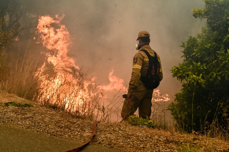
Copernicus, the EU’s Earth observation program, has been activated for the immediate mapping of the areas in Achaia and Ilia, southern Greece, that have been burned in wildfires since Friday.
The purpose of the activation is the production of maps and data of the affected regions, to assist the work of agencies involved in dealing with emergencies and managing the consequences of the fire.
The service was activated following a request from the Greek authorities, including the general secretary of civil protection. The request was accepted by the European Union and Greek authorities are expecting to receive the data in the coming days.
This is the second request filed by Greece this fire season. On Friday, Copernicus said it had activated its mapping team for the wildfire that started in Koropi, southeast of Athens, on June 19.












Το σχόλιο σας