European Space Agency:Copernicus satellites&the Digital Twins of the Earth in the fight against cl. change
Jolyon Martin is Copernicus Ground Segment System Architect at the European Space Agency (ESA). Kathrin Hintze is Head of the Ecosystem Development Section and Deputy Project Manager Destination Earth & ESA DTE at the European Space Agency (ESA) and Haris Kontoes holds the position of Research Director at the Institute for Astronomy, Astrophysics, Space Applications and Remote Sensing of the National Observatory of Athens, leader of Operational Unit BEYOND Center for Earth Observation Research and Satellite Remote Sensing.
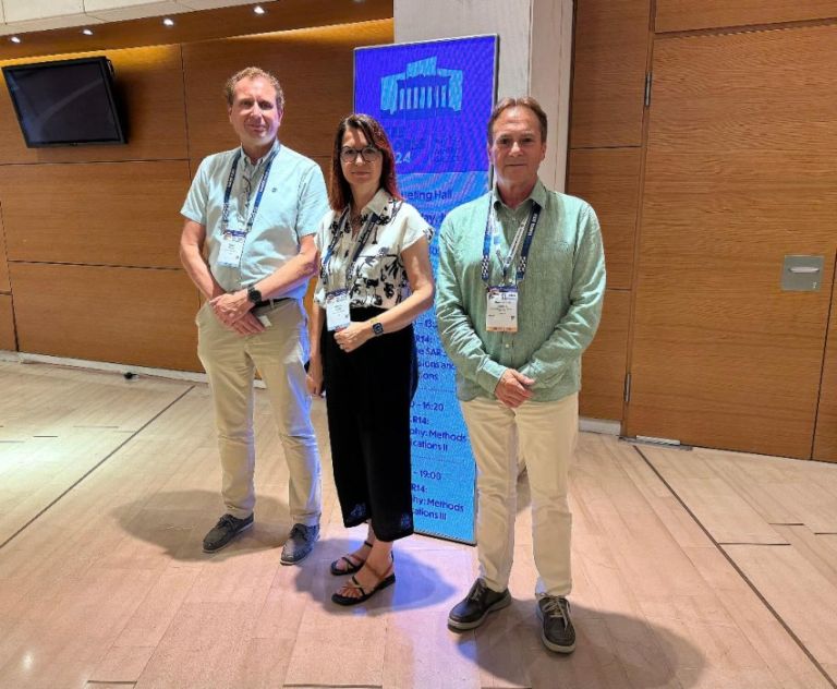
The distinguished ESA personalities participated IGARSS 2024, in Athens and in particular chaired the session on Copernicus and DestinE platform ecosystem opportunities. The particular session highlighted efforts and opportunities within the Copernicus Data Space and DestinE Core Platform to empower users to contribute to a robust ecosystem of services, fostering sustainability, resilience, and positive planetary impact.
Copernicus Data Space Ecosystem is the new data access and data exploration element of the Copernicus Program. The Data Space represents a paradigm shift from data distribution via downloads towards in-code API access, allowing processing, filtering, and statistics calculation, limiting downloads to the resulting information. Destination Earth unlocks the potential of digital modelling of the Earth system at a level that represents a real breakthrough in terms of accuracy, local detail, access-to-information speed and interactivity.
The session aimed to highlight efforts and opportunities within the Copernicus Data Space and DestinE Core Platform to contribute to a rich ecosystem of advanced applications and services, providing an overview of how they work together and empowering users to access and provide actionable information to measure and act to improve sustainability and resilience to the benefit of our planet.
How satellites and the collection of big data affect our everyday lives?
Jolyon Martin: I work on the Copernicus programme, which is one of the key pillars of the European Space Agency programmes. It is literally the European eyes on the Earth. ESA has been entrusted by the European Commission to develop and operate a series of satellites called the Sentinels, providing essential observations for a host of applications. The uses of the Copernicus data are very wide: from monitoring agriculture and helping to avoid overfertilization, using efficient water resources, to pollution detection like oil spills or atmospheric emissions, as well as for climate change or deforestation. The data are made available from the Copernicus data space ecosystem and they are available to the public and many other institutions and initiatives such as the Digital Twins of the Earth.
Are these data free to access by the public or is it only for the use by governments?
Jolyon Martin: The data are open and free to everyone. Anybody can freely register to download the data through the Copernicus data space ecosystem[1]. Moreover, ESA is making the data available on the cloud to also facilitate its processing in a much more environmentally friendly way. Providing the data together with tools and resources for the processing.
What is the contribution of Destination Earth to the fight against climate change?
Kathrin Hintze: Destination Earth is an initiative of the European Commission to build a digital replica of the Earth. This replica allows users to design accurate and actionable adaptation and mitigation strategies. Destination Earth builds two initial digital twins of the Earth, one for climate adaptation and one for weather-induced extremes. ESA is implementing the platform where users can access these digital twins and build their own applications, that are relevant to their cities or their countries.
How do you process this information in terms of short- and long-term decision making?
Kathrin Hintze: The digital twin for the climate adaptation, for example, provides simulations for the next decades at a very precise level -hourly level- for the entire globe with the resolution of a few kilometers. This can be used at the local level. It’s a big amount of data because for every point of the earth there are more than hundred variables that are made available to the users through the platform. The platform also makes available to the users, tools in order to use the data for their own purposes and to visualize the data. For example, there is a very nice tool for storytelling and users can use the data to tell a story that it is tailored to their area.
Let’s say I am a policy maker in Greece, and I want to ban diesel combustion engines circulation in Greece. Can I test whether this decision would have a positive or a negative effect on the planet?
Kathrin Hintze: The initiative is only two years old, and we just had the launch of the first version of the system which gives the basic building blocks to the users and now what we are expecting is a ramp-up in the next two years where we enable users to build these services and test the scenarios such as the one you describe.
Dr Kontoes, how do we take advantage of all those data for the benefit of our countries?
Haris Kontoes: In the National Observatory of Athens and the BEYOND Center for EO Research and Satellite RS we are using the big Sentinel data to run models and assist the decision making and the management of physical phenomena processes on the planet. For example, in Greece we have problems with wildfires. The firefighting authorities need to have operational data to deal with the disaster. This is not simple. We couple big EO data with advanced Artificial Intelligence models for generating the knowledge that is needed by the civil protection control authority and the fire fighters. In this regard, the use of the Destination Earth platform is key.
Can you please name other case studies to make this more tangible?
Haris Kontoes: There are several sectors that benefit by the ecosystem of data (so-called digital twin) available through the Destination Earth initiative. One example is the Early Warning system EYWA to mitigate Mosquito Borne Diseases. The system was developed in Europe under NOA’s coordination and nowadays is implemented in different places all over the world. To achieve this, a multitude of Earth Observation satellites are used, because they cover the whole planet and provide daily information that is necessary to assess the expected epidemiological risk for Malaria, West Nile Virus, Dengue Fever. These diseases cause hundreds of thousands of deaths in many countries worldwide.
Moreover, in the agriculture sector we use big EO data to systematically assess and project the development of the crop and know beforehand the actions to be anticipated for protecting the yield and the food over large territories.
Kathrin Hintze: And if I may add, also to optimize the use of fertilizers. By using all these data, we are helping the planet towards resilience and sustainability Because we can know exactly how much is needed for the growth of a specific plant in a specific area of the planet.
Another application is to project the level of the crop, and this is very important for the income of the farmers but also very important for the sustainability of the planet and the resilience of societies. Think of food security for example.
[1] https://dataspace.copernicus.eu
Διαβάστε όλες τις τελευταίες Ειδήσεις από την Ελλάδα και τον Κόσμο


Το σχόλιο σας